West Winch Housing Access Road
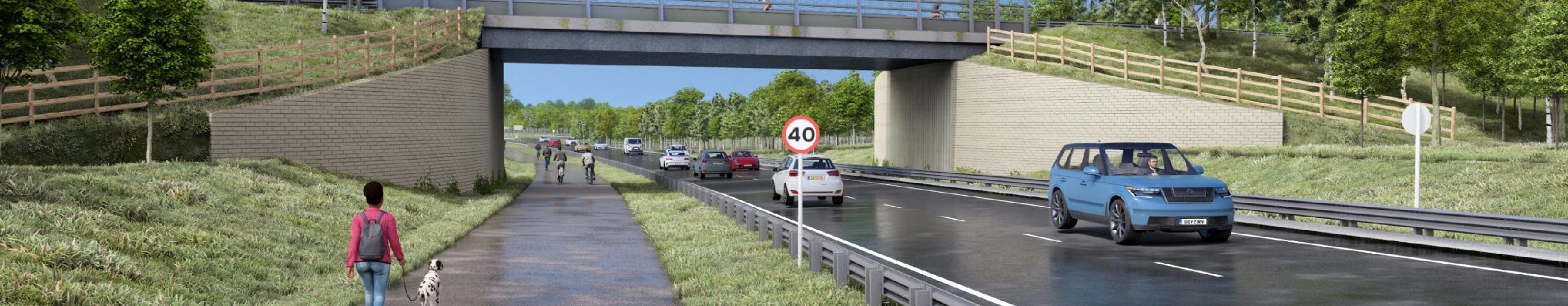
West Winch Housing Access Road will cut congestion on the A10 and make improvements to the A47 south of King's Lynn. It will also take heavy traffic out of the village of West Winch and enable up to 4,000 new homes to be built in the West Winch Strategic Growth Area.
About West Winch Housing Access Road
Find out more about why the road is needed and what will be delivered
Developing the proposals
Background to the project and a summary of work to date, including public consultation
Timeline and documents
Our anticipated delivery timetable and key documents related to the project
Your questions answered
A list of frequently asked questions and answers about the project
West Winch Strategic Growth Area
Information on the Borough Council of King's Lynn and West Norfolk's website about the growth area
What's happening on site?
Completed, ongoing and upcoming work


